The Division of Geoscience and Remote Sensing conducts research, education, and utilization within a wide range of scientific and engineering disciplines, using ground-based and satellite measurements, and numerical modeling.
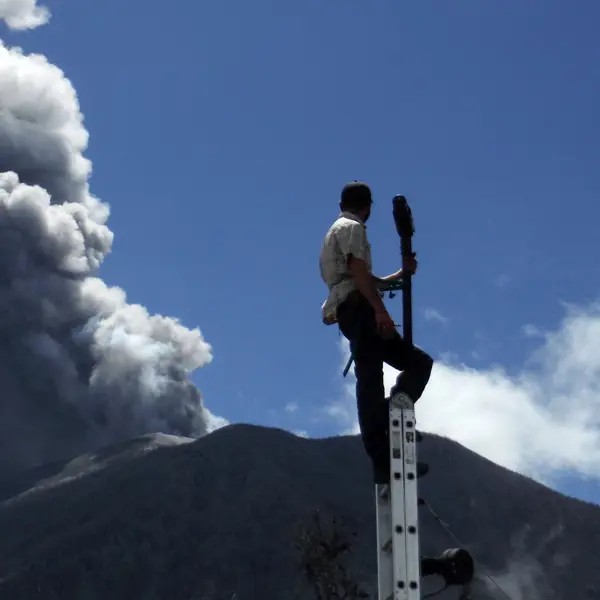
The division‘s goal is to improve understanding of the Earth system and global current and future environmental problems, as well as to provide and interpret global datasets relevant to these topics. We want to provide scientific knowledge and tools to tackle problems of importance to society, such as climate change, atmospheric air pollution, and the mapping of natural resources or natural hazards.
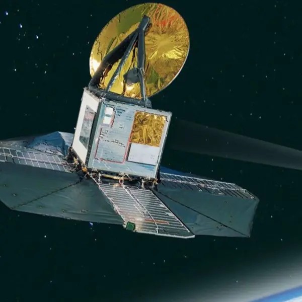
We have a long experience in developing and applying remote sensing across the electromagnetic spectrum and studying problems at different scales: from molecular processes in clouds to global environmental change.
Our setting is distinctive in Sweden in that we have both technical competencies related to measurement techniques, as well as expertise in modeling and methods to combine data from observations and models through data assimilation.
Find more about our team, as well as about our topics and techniques through the links below.
Our topics
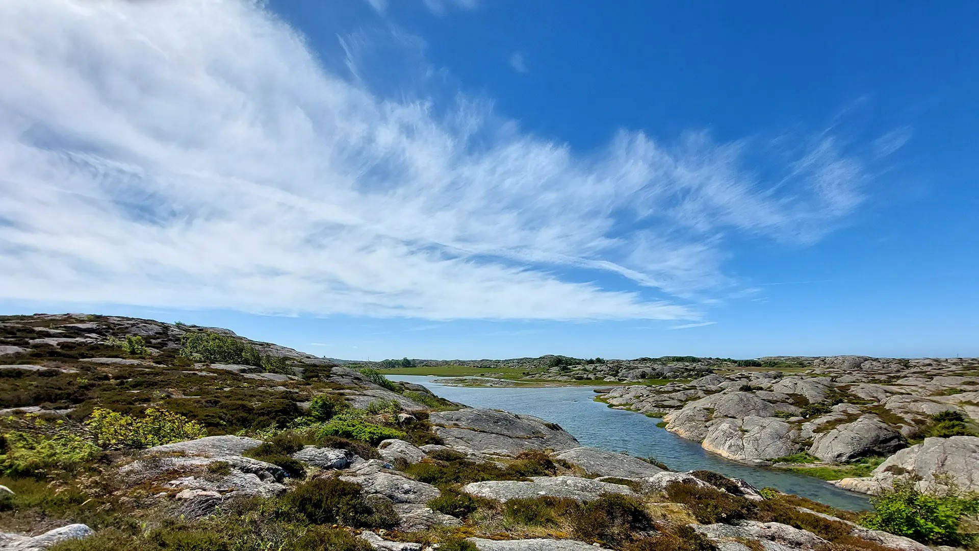
We study key mechanisms vital to society, like climate change, air pollution, and mapping water, forests, and ice.
Our techniques
We use remote sensing to study issues from molecular to global scale, combining data from observations and models.

Our products
We are actively involved in a range of accessible databases, tools, models, and observational data.

Staff
Presentation of the staff at Geoscience and Remote Sensing.
Full professor, Head of division
- Head of Division, Geoscience and Remote Sensing, Environmental and Energy Sciences